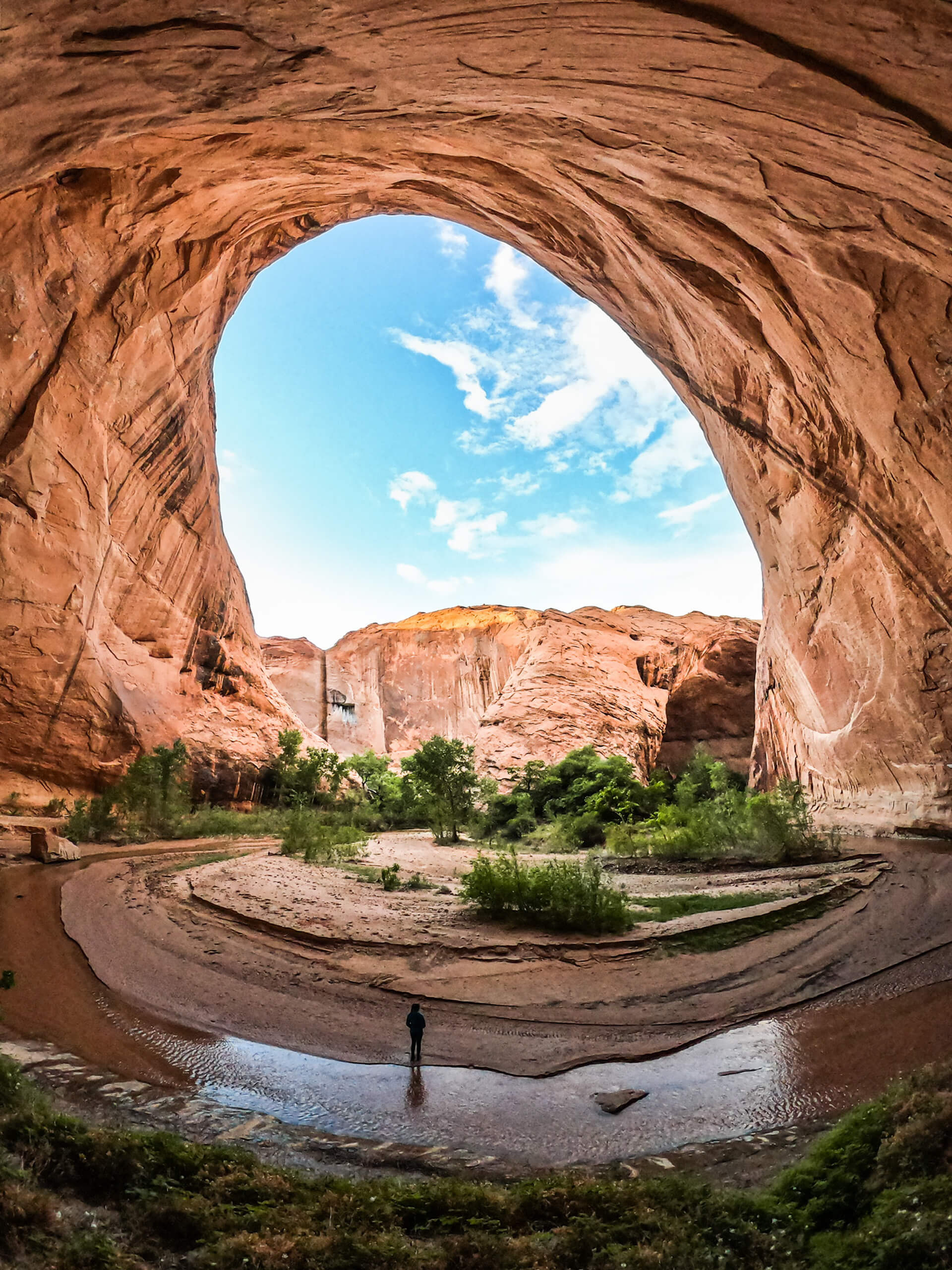
Coyote Gulch
Magnificent archways breathtakingly carved by freshwater rivers. No crowds, in fact, not even another tent in sight, in what can only be described as a dream scene. This is Coyote Gulch. Located in the Grand Staircase Escalante, this natural wonder is still a relatively well kept secret amongst the hiking community.

Jacob Hamilton Arch
I find these remote locations, beautifully preserved through anonymity, the hardest to write about. A constant internal conflict between gatekeeping and responsibly educating. Although it will be a continuing struggle, my sincerest hope when sharing these destinations is to bestow a sense of responsibility in you. To care and more importantly, to protect these awe inspiring landscapes for generations to come.
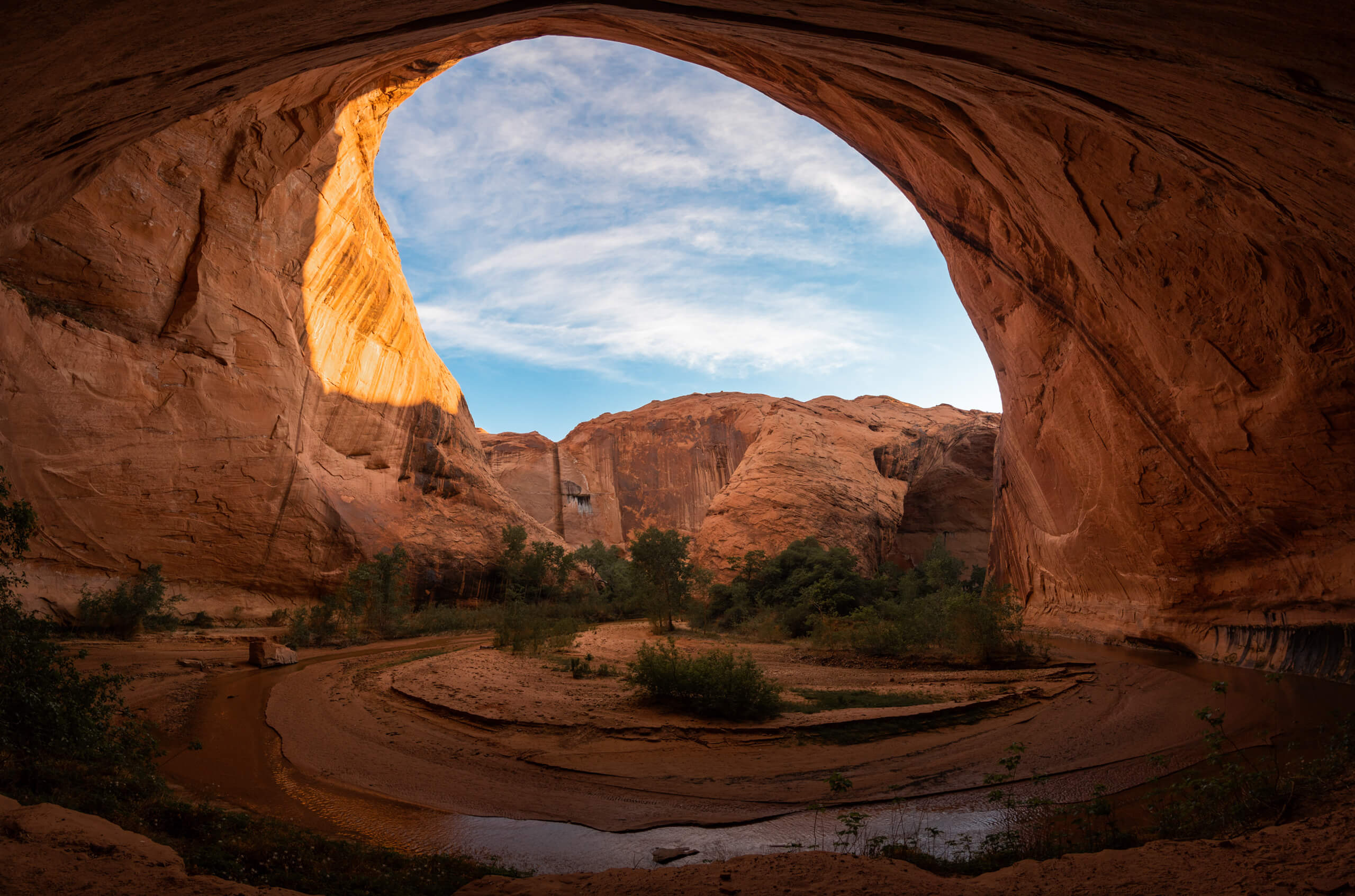
Sunset in Coyote Gulch
I believe we all have the ability as well as the moral obligation, to travel responsibly. Before jumping in, be sure to familiarize yourself with both the rules and regulations within the Grand Staircase Escalante and the Leave No Trace Principles.
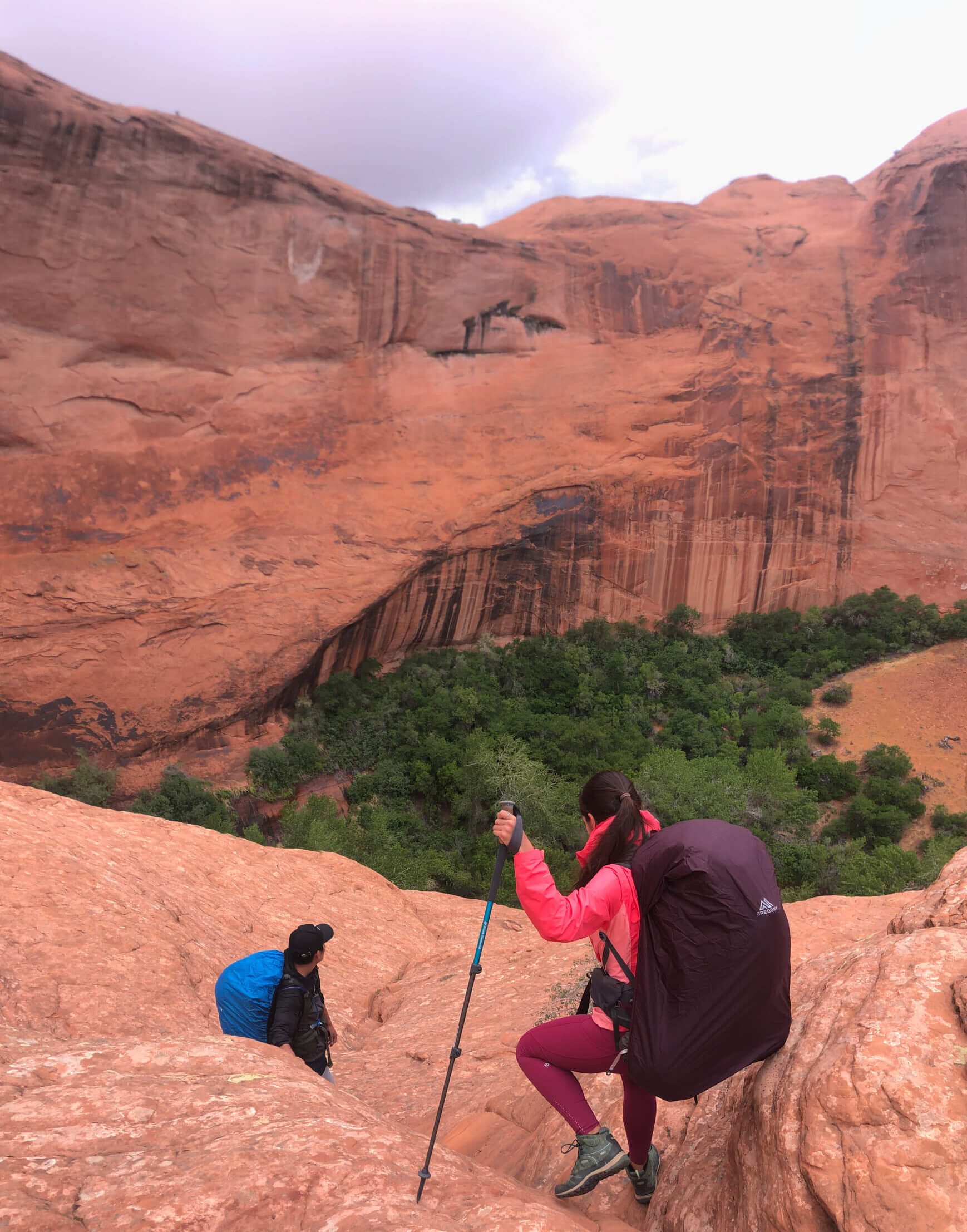
Descent into the Gulch
Trail length: approximately 4 miles from the trailhead to the gulch floor and back.
Elevation Gain: 1070 ft.
Trail Difficulty: Moderately difficult, due to a 200 ft scramble section
Trail Location: Escalante, Utah
Trailhead: Water Tanks, Coyote Gulch Trailhead (Note: this requires driving on a very rough road)
Campgrounds: Back country, no designated sites.
Fees: None.
Best time of year: Spring-Fall
Weather: Watch the weather for flash floods.
Permits: Needed, but can be obtained at the trailhead. (No prior application needed)
The washboard road used to get to the Trailhead is a mission in itself, rough with deep sand spots. A high clearance vehicle, (and even all wheel drive) would be ideal if available. You’ll want to map to the Water Tanks – Coyote Gulch Trailhead – Sneaker Route in Google maps. (Be sure to download offline maps prior to losing service) The parking lot, next to a water tank is small, but never full.
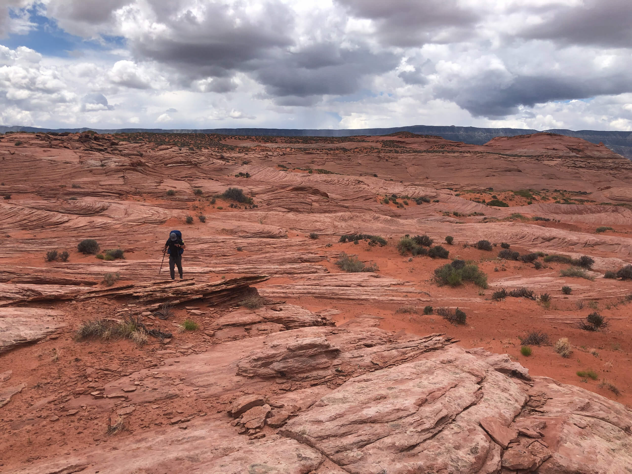
Sneaker Route
The 2 mile trail from the parking lot to the cliffside descent is very clearly marked by rock cairns. You will cross both sand and stone terrain with very little elevation change. It’s important to note that the trail is completely exposed though, meaning heat could be an issue during some months of the year.
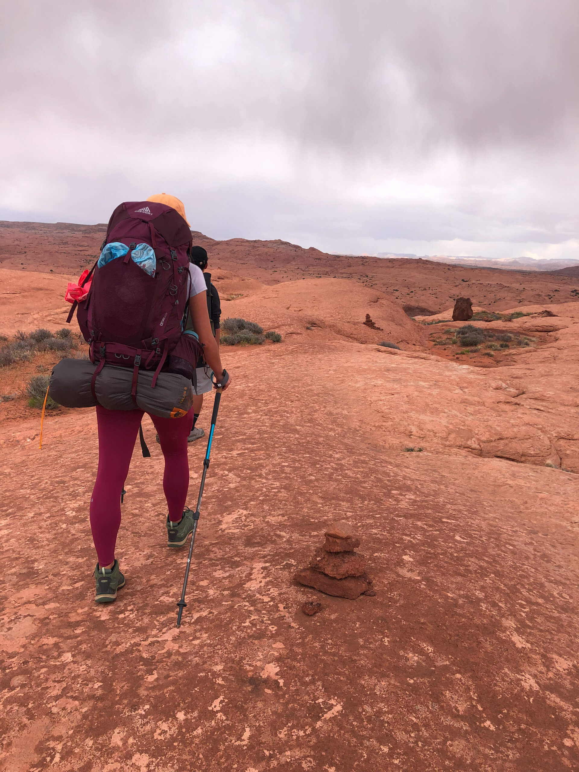
Rock Cairns marking the Sneaker Route
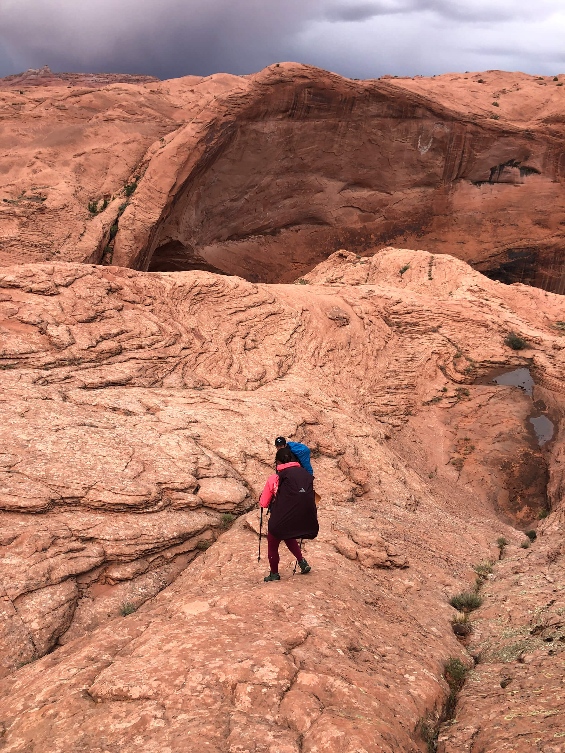
Note the white bird marking across the canyon. This is where you descend into Coyote Gulch
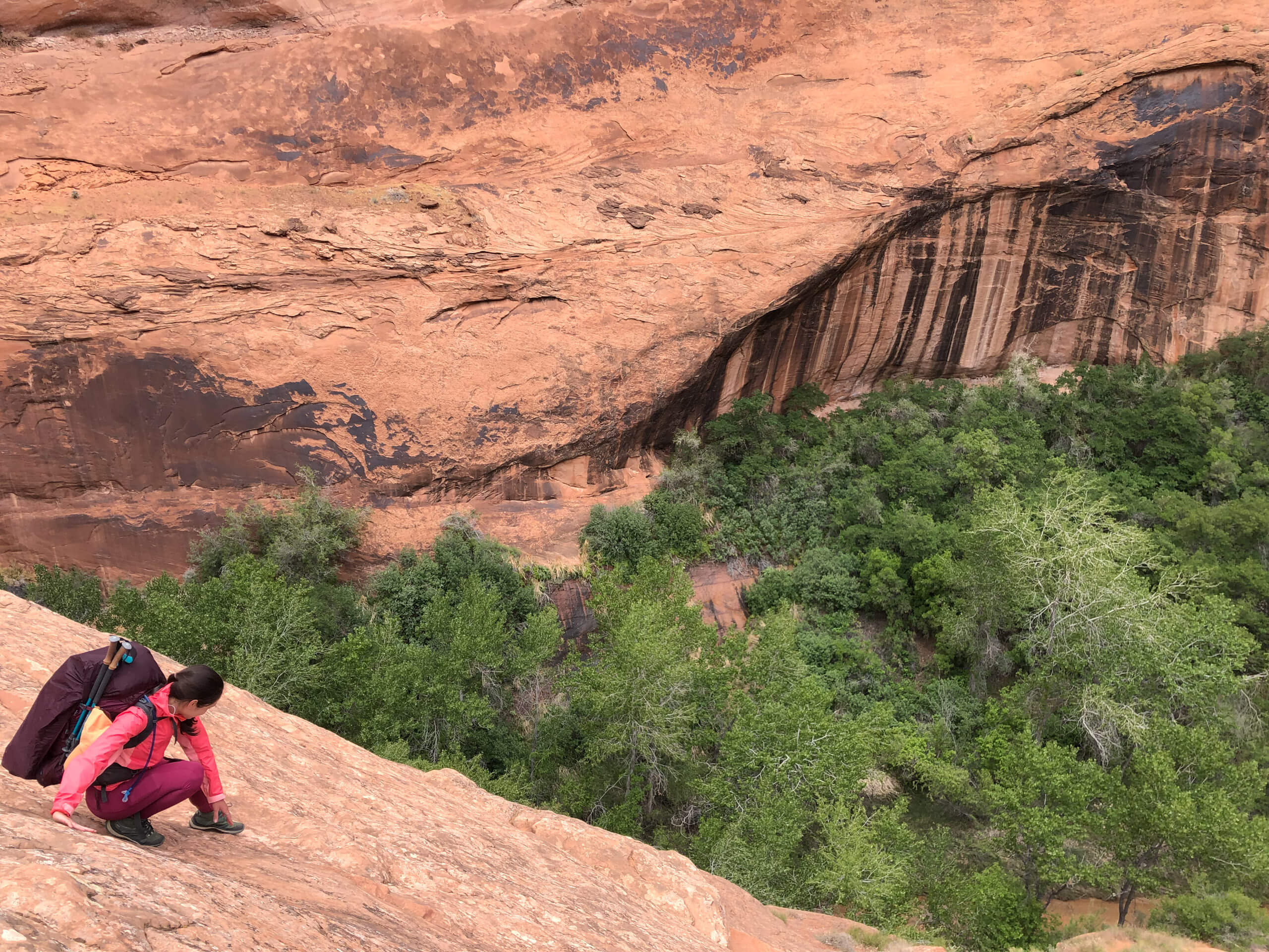
When you get to the cliff’s edge, you will notice a wall descending approximately 200 ft. This wall is sloped at a 45 degree grade and is classified as a “Class 3 scramble“. A class 3 scramble just means you will have to use your hands and feet on the trail. Personally, we found going down very manageable without a rope, even with 40 pound packs on. (Note: I have read that there is occasionally a rope available at this wall but there was not one when we hiked)
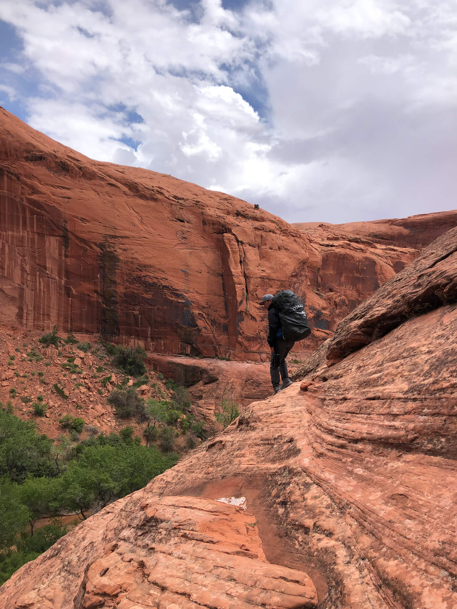
45 degree downhill grade

Occasional use of hands
Once on the canyon floor, you are free to explore the many arches of Coyote Gulch. For the most part, we stayed within a mile of the sneaker route entrance around Jacob Hamblin Arch, but if you hike downstream a few miles you will hit a natural bridge, swimming hole, and small waterfall.
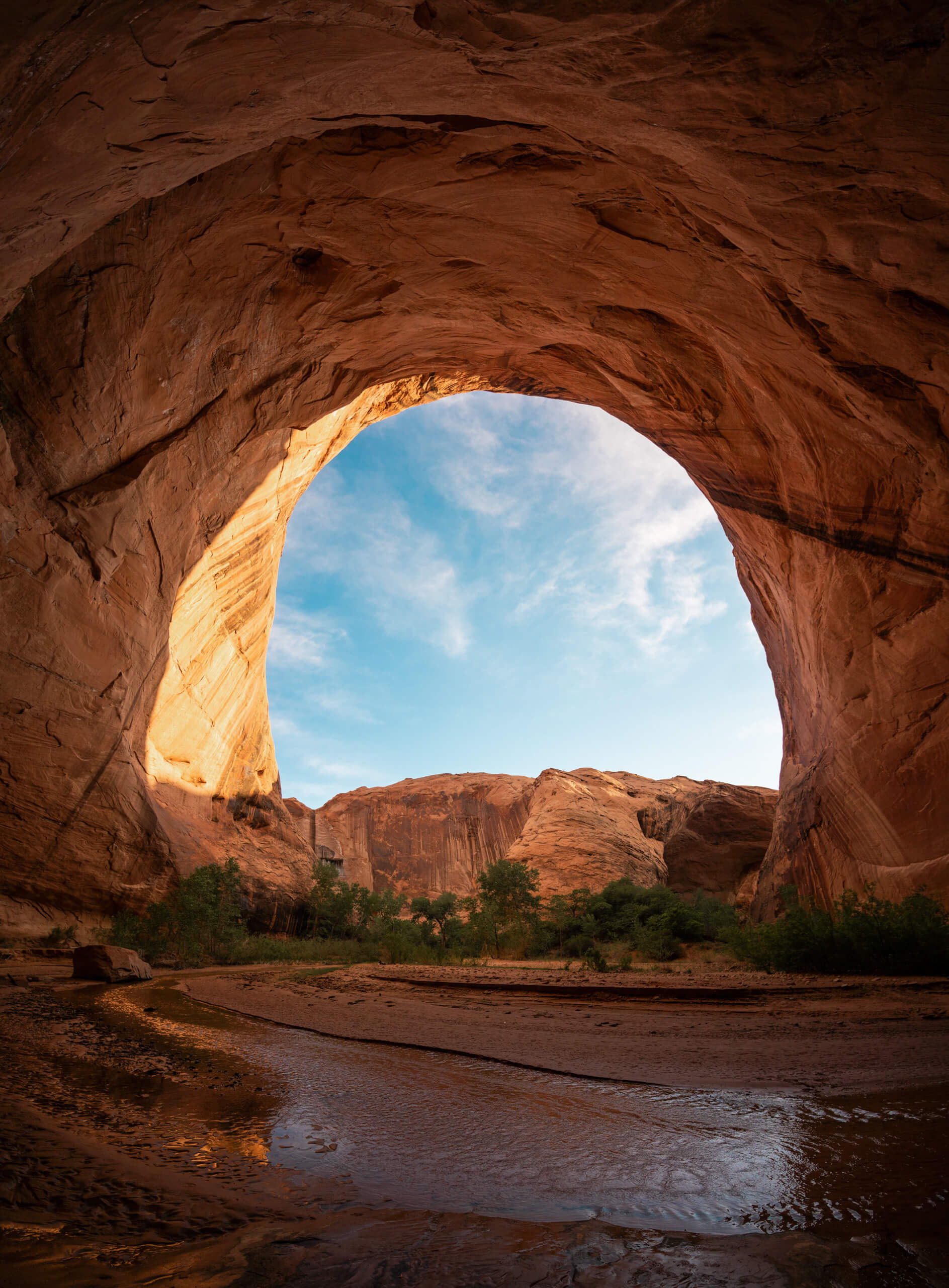
We set up camp but stayed up well into the night, mesmerized. Coyote Gulch, was a gem that deemed more time. Tripods were positioned and shutters slowly closed to capture what would be a perfectly framed milky way, painted across the sky.
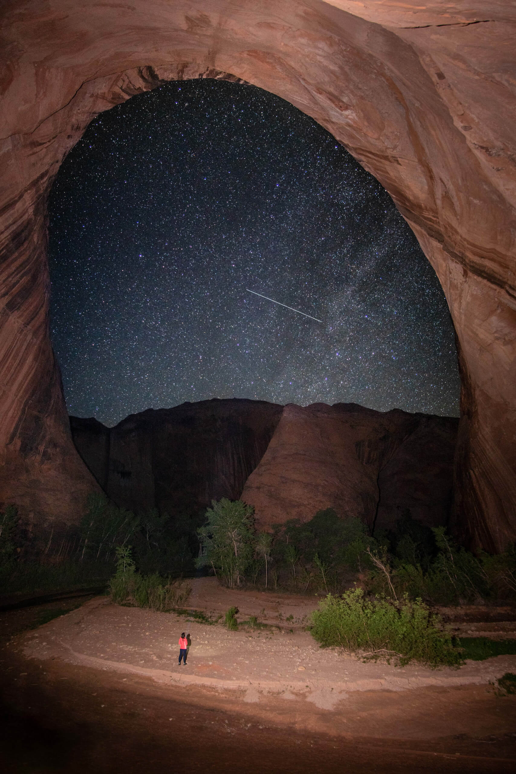
Milky Way Photographed in Coyote Gulch
The next morning, with full yet heavy hearts, we packed up camp and headed back out of Coyote Gulch the same way we came in. (Again, without ropes.) I will say it was slightly more difficult to go up the rock face than it was to come down. We used our hands to help us scramble up a few sections, though mostly to counterbalance the weight of our packs rather than to prevent slipping.
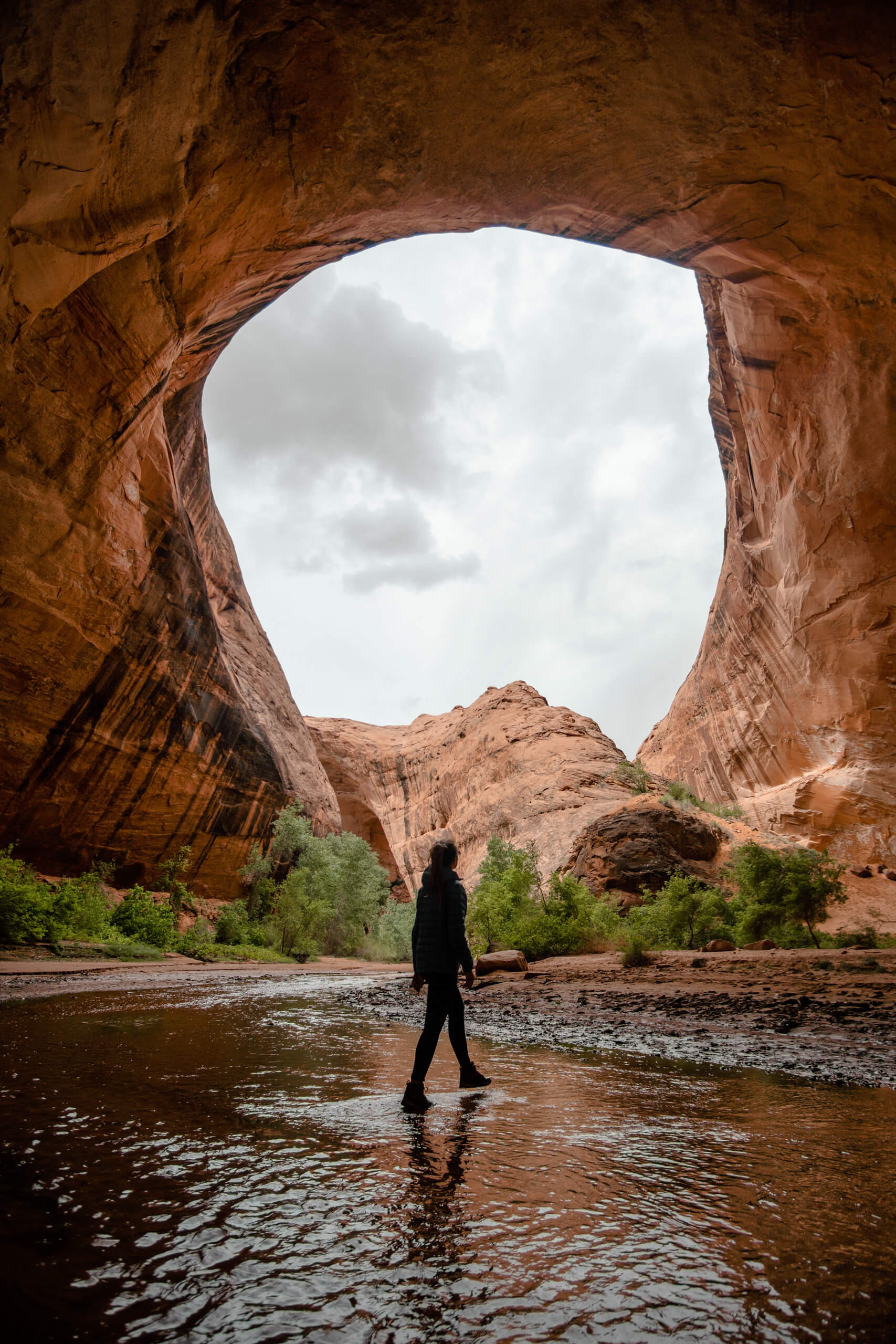
Overall, Coyote Gulch was our favorite hike of the entire week long road trip. If you decide to experience it for yourself, please leave it better than you found it. Pack out all that you bring in. Take only pictures and leave only footsteps. Together, let’s keep this place special.

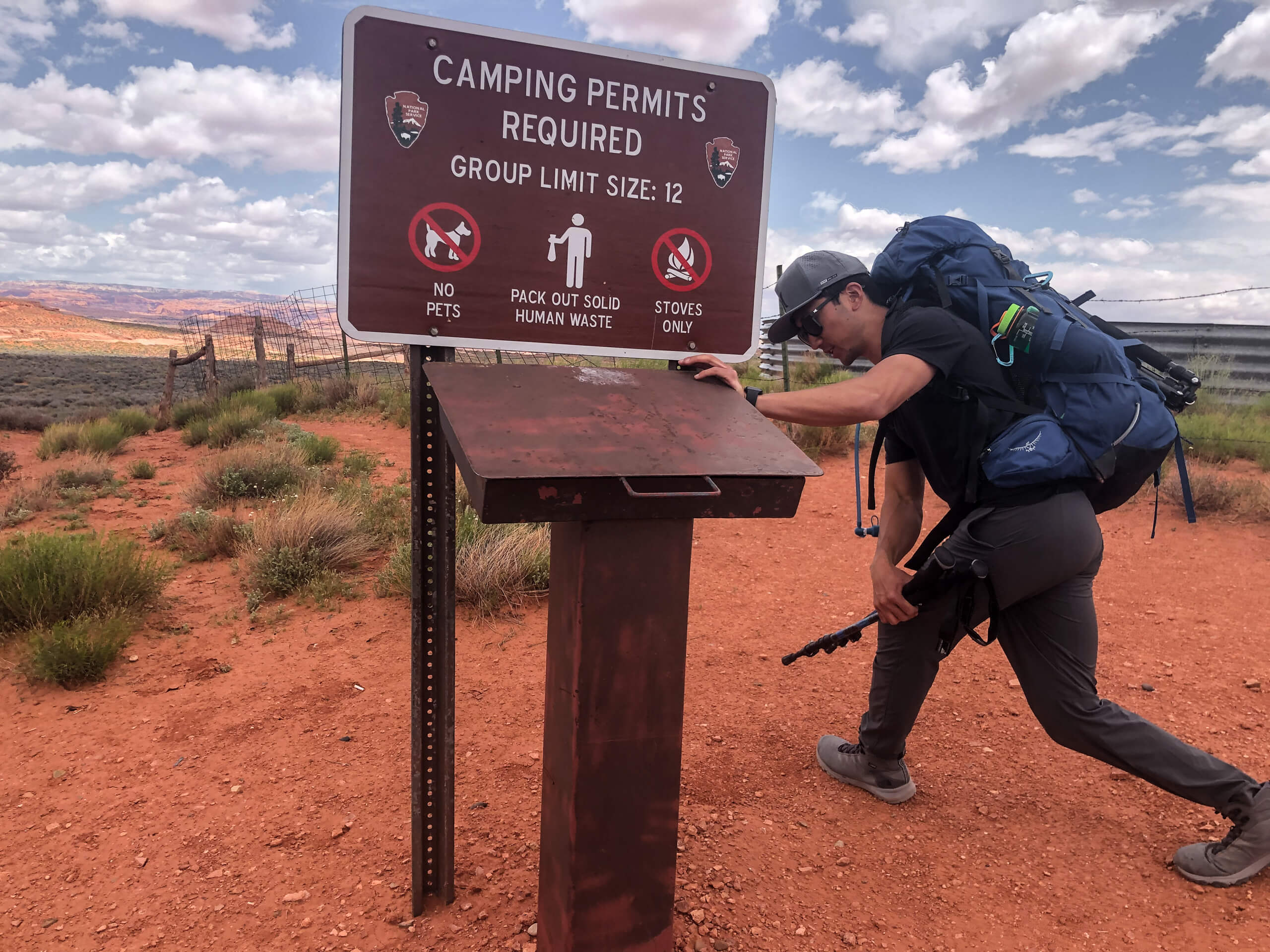
Water Tank Trailhead
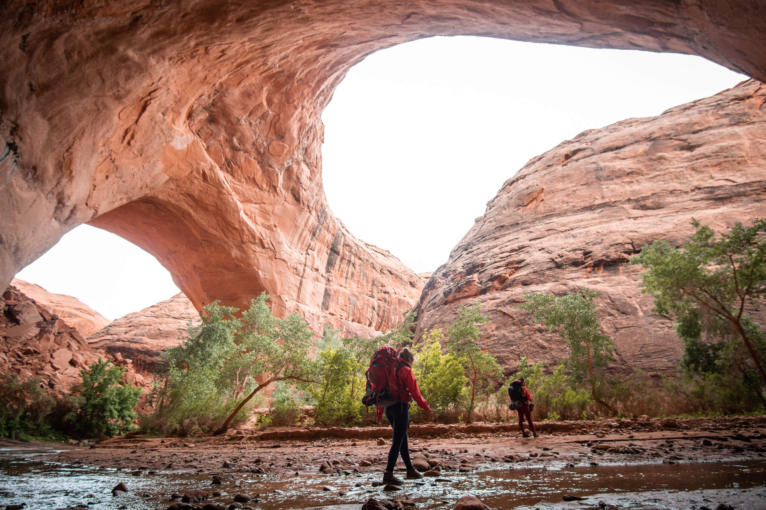
Jacob Hamilton Arch river crossing
Note: We stayed for 1 night and carried in all the water we needed
One last note, if hiking down a steep wall doesn’t sit well with you there are a few other trail options to get you down into the gulch.
Photos were taken in Collaboration with Matt Tonokawa.
No Comments